
Kayaking the Central Coast: Caves, Coves & Kelp Forests
Four launches from Cayucos to the Shell Beach sea caves, why to paddle before the afternoon wind, and why Morro Bay's shallow back bay wants a high tide.
Published Feb 10, 2026 · 3 min read · Nearest gauge Port San Luis / Morro Bay · NOAA 9412110
On this page
Two things decide most paddles here: the afternoon wind, and in Morro Bay the tide. The four launches below run from the Cayucos beach south to the Shell Beach sea caves. The Morro Bay estuary and the water inside Point San Luis at Avila are the sheltered launches. Cayucos and Shell Beach are open coast, where you read the swell before you go.
Best Launch Spots
Morro Bay State Park
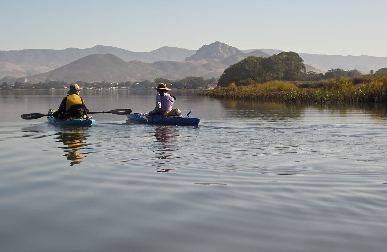
Behind Morro Rock, the estuary is calm enough for beginners, and the outer bay is rougher. Launch from the State Park marina and you'll share the water with sea otters, harbor seals and shorebirds.
Watch the tide here more than anywhere else on this list. It is shallow in the back bay, and the Morro Bay National Estuary Program warns that a low tide can leave boats aground there, while a rising tide can float away kayaks left on the sandspit or beach. Paddle the back bay on the higher part of the tide and pull your boat well above the tide line. Morro Bay uses the predictions for Port San Luis, the nearest NOAA station, and local times can run slightly different.
Avila Beach
The protected waters inside Point San Luis make Avila Beach a good launch point for the rocky sea caves and arches to the north. Sea otters often lounge in the kelp beds just offshore.
Cayucos
A quiet beach town with easy beach launches. Paddle north toward Point Estero for a chance to see harbor seals hauled out on rocks, or south toward Morro Bay along the open coast.
Pismo Beach & Shell Beach
At Shell Beach you can paddle into the sea caves and look back out through the arches to the open Pacific.
What You'll See
Sea otters are most common in the Morro Bay and Avila Beach kelp beds, and harbor seals haul out on rocks all along this coast. Look for great blue herons, snowy egrets and brown pelicans. The kelp sits just below the surface, visible through clear water, and the caves and arches are around Shell Beach and Point Buchon.
When to Go
Go in the morning. The coastal wind usually picks up by early afternoon. Summer and fall are calmest, and spring can be just as good if you watch the forecast. You can see the wind and swell beside the tide on the Port San Luis console.
Tide tip In the Morro Bay back bay, plan around high water, because a low tide can leave you aground on the shallow flats. On the open coast, go into the caves only on a calm day with a small swell.
Rentals & Tours
If you don't have your own gear, these outfitters rent boats and run guided tours:
- Central Coast Outdoors (Los Osos): guided kayak tours on Morro Bay
- Avila Beach Paddlesports: kayak and paddleboard tours and rentals
Safety Tips
Wear a PFD, and tell someone where you're launching, where you're headed and when you'll be back. Keep 100 feet from sea otters and seals, the distance the Morro Bay estuary program asks for; disturbing them is illegal. In Morro Bay, watch for boat traffic in the channel.
Keep reading
Surfing · Fishing · Tidepooling · Kayaking · Avila · Morro Bay · Cambria · California coast · 9 min
Tropical Storm Rachel: Its Track, the Timeline and What It Means for the Central Coast
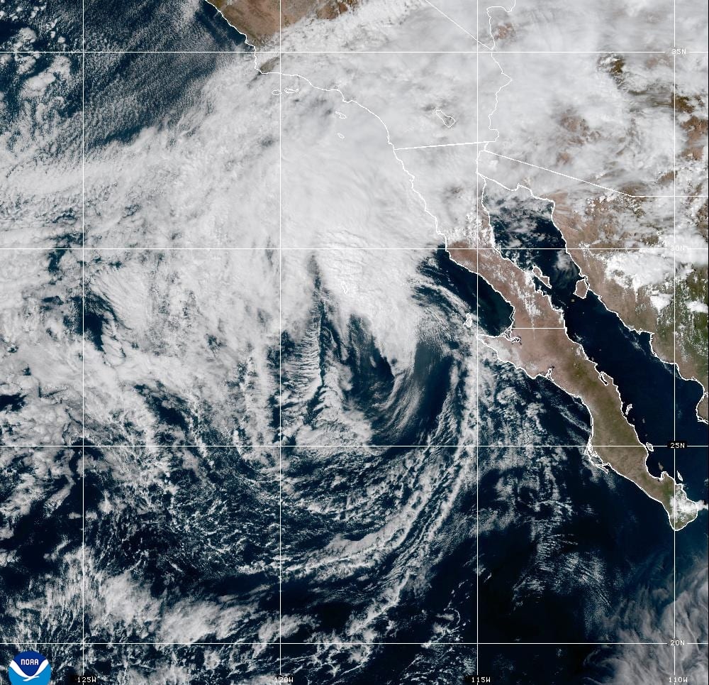
Rachel, a major hurricane last week, is expected to make landfall in northern Baja as a tropical storm tonight. The Central Coast is far from the center, but it gets high surf, tides running more than a foot above the tables, coastal flood advisories from Big Sur to Santa Barbara County, and light rain Sunday night into Monday.
Tidepooling · Avila · Morro Bay · California coast · 7 min
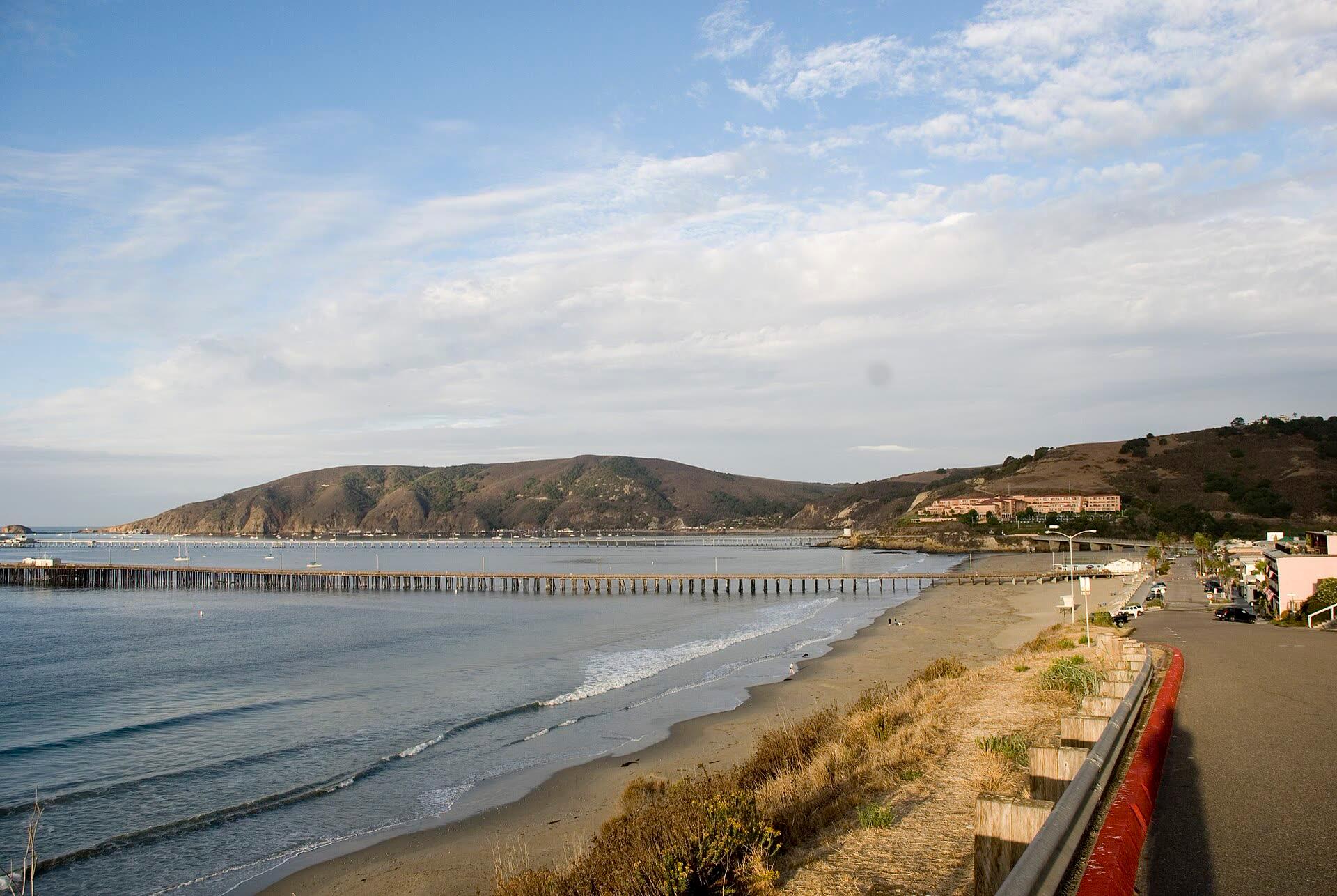
California King Tides 2026–27: Dates, Heights and What El Niño Adds
This winter's king tides fall on November 24 to 26, December 23 to 25 and January 21 to 22. NOAA predicts 7.02 ft at Port San Luis on December 24, and with El Niño holding the coast well above the tide tables, they could top the gauge's record.
Surfing · Morro Bay · Avila · California coast · 5 min
Do Mexican Hurricanes Send Swell to the Central Coast?
Most East Pacific hurricanes never send us a wave: Baja is in the way. How hurricane swell reaches California when it does, how long it takes, what 12 years of buoy data show, and how to read our new storm tracker.