
Understanding California Tides
A short introduction to California's mixed tides with Port San Luis numbers: why one low each day is much lower than the other, and where to go next in Tide School.
Published Feb 1, 2026 · 1 min read
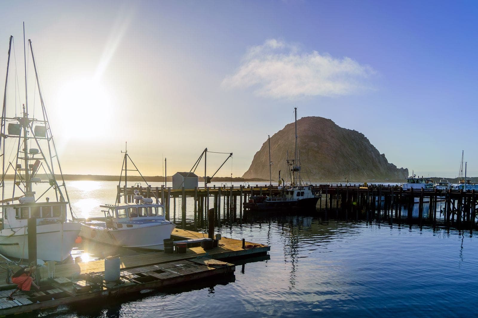
California's tides are mixed. Most days bring two high tides and two low tides, and one of each is much bigger than the other. At Port San Luis an average day swings 5.32 ft from the higher high to the lower low. That is NOAA's great diurnal range for the station, and it runs from 5.24 ft at San Simeon to 6.87 ft at Crescent City (the full table is in MLLW and tide datums).
What Causes Tides
Tides come from the gravitational pull of the moon and sun on the oceans, and most of the work is the moon's. Although the sun is far larger, it is also much farther away, so its tidal force is only about 46% of the moon's (NOAA rounds it to about half). When the sun and moon line up, at new and full moon, you get spring tides, with higher highs and lower lows.
Why the Two Lows Differ
Because the moon's orbit is tilted, for much of each month it sits well north or south of the equator. California then passes through the thick part of one tidal bulge and the thin edge of the other, and one low each day drops far below the other. Why California gets two unequal tides a day has the full explanation, with Port San Luis's own harmonic constituents.
See It on This Site
For the next two weeks of highs and lows, with the spring and neap tides marked, open the Port San Luis tide calendar. On the Coast Map you can watch high tide move up the coast. To read the numbers in either, start with How to read a tide table.
Keep reading
Tidepooling · Avila · Morro Bay · California coast · 7 min
California King Tides 2026–27: Dates, Heights and What El Niño Adds
This winter's king tides fall on November 24 to 26, December 23 to 25 and January 21 to 22. NOAA predicts 7.02 ft at Port San Luis on December 24, and with El Niño holding the coast well above the tide tables, they could top the gauge's record.
Surfing · Morro Bay · Avila · California coast · 5 min
Do Mexican Hurricanes Send Swell to the Central Coast?
Most East Pacific hurricanes never send us a wave: Baja is in the way. How hurricane swell reaches California when it does, how long it takes, what 12 years of buoy data show, and how to read our new storm tracker.
Surfing · Fishing · Tidepooling · Kayaking · Avila · Morro Bay · Cambria · California coast · 9 min
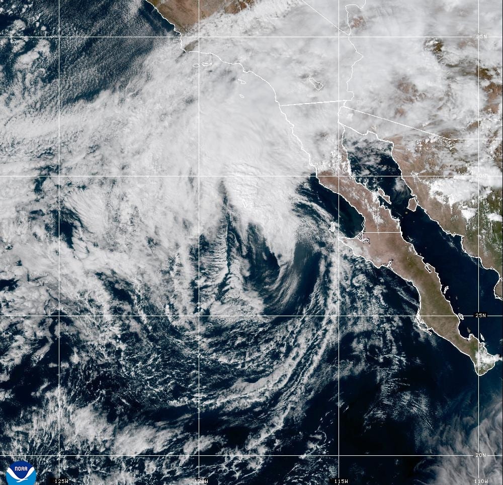
Tropical Storm Rachel: Its Track, the Timeline and What It Means for the Central Coast
Rachel, a major hurricane last week, is expected to make landfall in northern Baja as a tropical storm tonight. The Central Coast is far from the center, but it gets high surf, tides running more than a foot above the tables, coastal flood advisories from Big Sur to Santa Barbara County, and light rain Sunday night into Monday.