
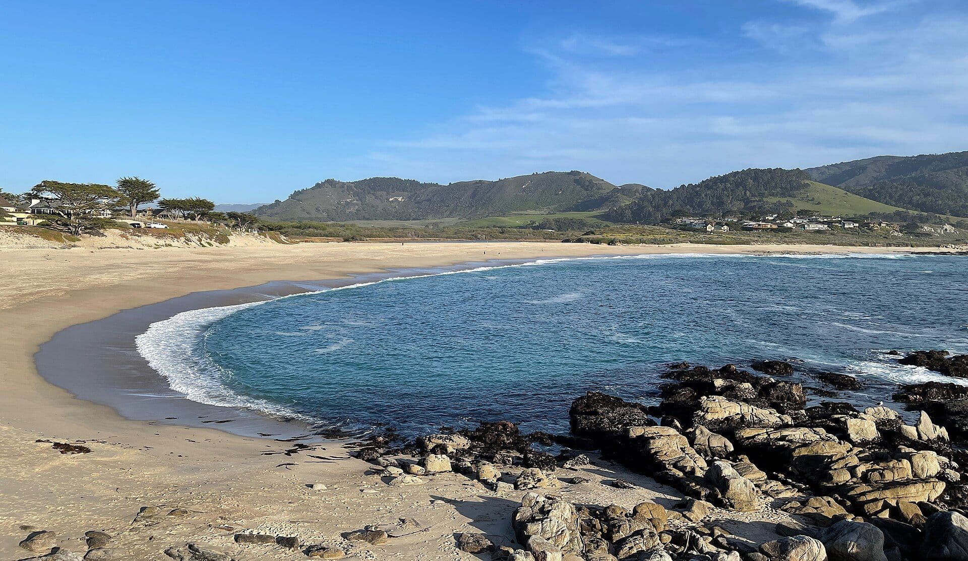
Carmel-by-the-Sea
Storybook cottages, a white sand beach and cypress bluffs on the Monterey Peninsula
About Carmel-by-the-Sea
In Carmel the tide decides how much beach you get. A lower tide exposes more sand and the rocks at the north end. The intertidal areas at Point Lobos are best on a minus tide: start early so you are there at the lowest water, before it turns. The nearest NOAA station is Monterey, a few miles north.
Carmel-by-the-Sea is a small village of cottages and galleries that you can cross on foot. Its main street runs down to a white sand beach, and Point Lobos is just south.
In town and nearby:
- Ocean Avenue — the main street, running from downtown down to the beach past galleries, tasting rooms and independent shops.
- Point Lobos State Natural Reserve — just south, with trails through cypress groves, coves with sea lions, and views from the bluffs.
- Carmel Mission — the historic mission, a short walk from downtown.
- Scenic Road Blufftop Walk — a paved path along the bluffs above the beach, for a morning or sunset walk.
- 17-Mile Drive (nearby) — the toll road through Pebble Beach, past the Lone Cypress.
- Carmel Valley (nearby) — wine tasting and sunny afternoons inland.
Top Pick: Carmel Beach
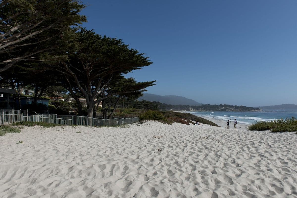
Carmel Beach is the town's main beach: fine white sand below bluffs topped with Monterey cypress trees.
Dogs can run off-leash if they stay under voice control.
The water is cold and the surf can be lively, so check conditions before swimming. On a clear evening the sun sets straight into open ocean.