Observed vs predicted, datums and the 14-day tide cycle

Newport Beach

NOAA 9410580Datum MLLWEpoch …Obs …Pacific time

Conditions →Map →

Observed vs predicted

From the Journal

Guides and tide explainers for the California coast

All posts →
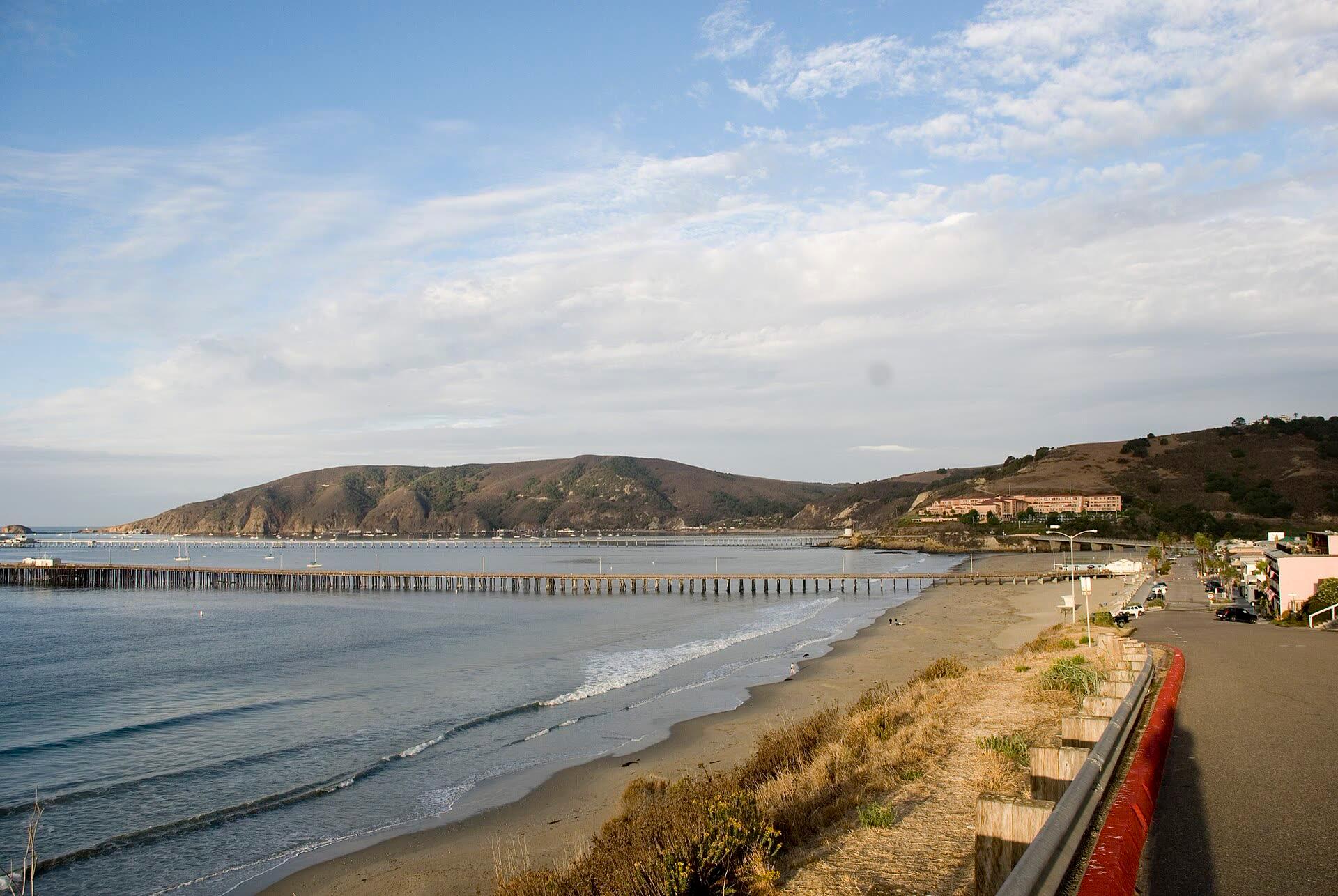
Morning view along Avila Beach from the end of Front Street, with the long pier reaching into the bay and the Port San Luis headland behind
Guide

Tidepooling · Avila · Morro Bay · California coast · 7 min

California King Tides 2026–27: Dates, Heights and What El Niño Adds

This winter's king tides fall on November 24 to 26, December 23 to 25 and January 21 to 22. NOAA predicts 7.02 ft at Port San Luis on December 24, and with El Niño holding the coast well above the tide tables, they could top the gauge's record.
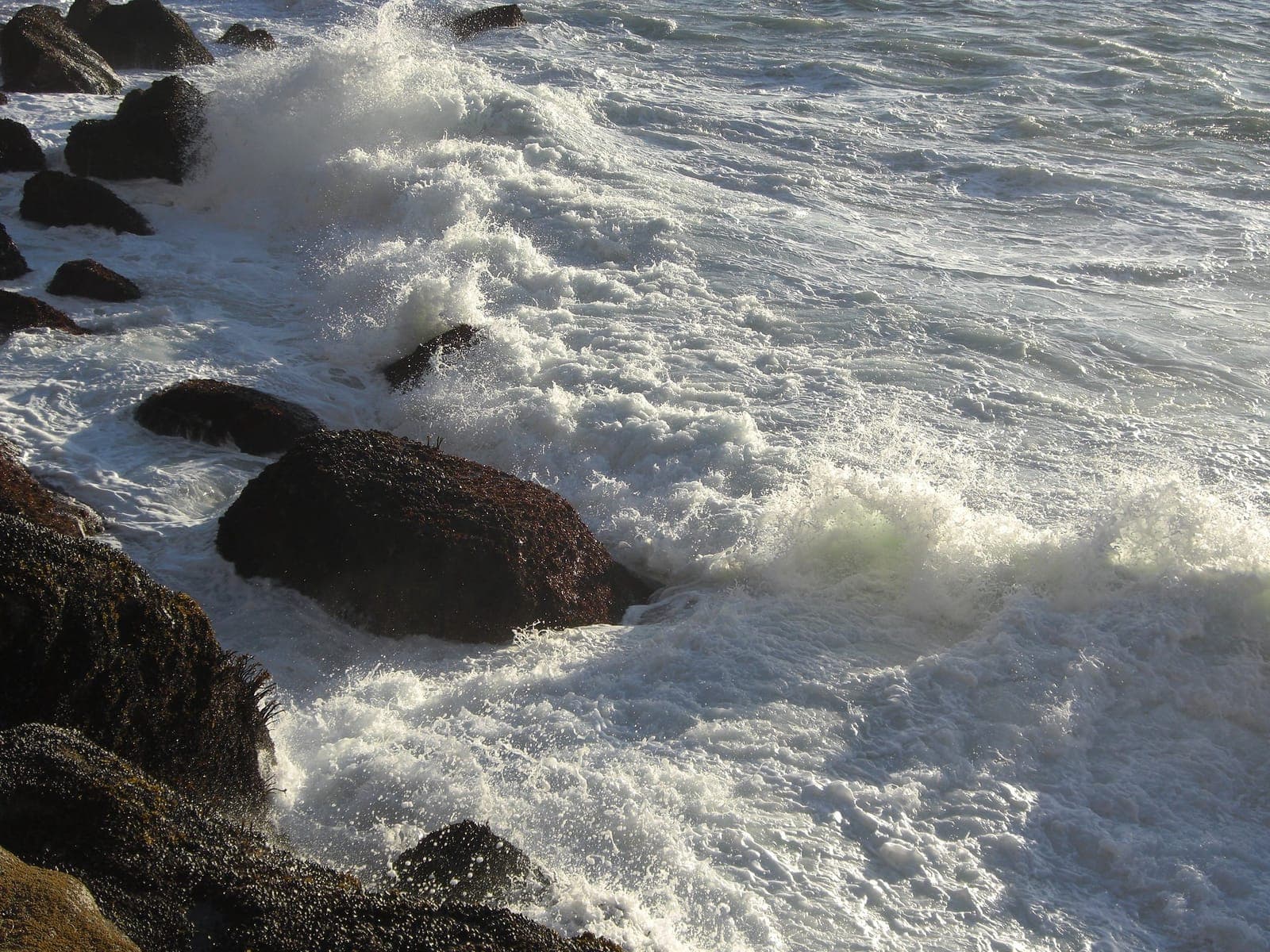
Whitewater surging between mussel-covered boulders at the base of Morro Rock, with spray thrown up off the rocks
Explainer

Surfing · Morro Bay · Avila · California coast · 5 min

Do Mexican Hurricanes Send Swell to the Central Coast?

Most East Pacific hurricanes never send us a wave: Baja is in the way. How hurricane swell reaches California when it does, how long it takes, what 12 years of buoy data show, and how to read our new storm tracker.

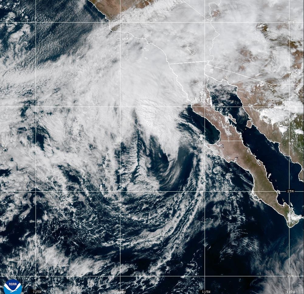
GOES-West satellite view of Tropical Storm Rachel's sheared swirl of cloud off the Pacific coast of Baja California, with its moisture streaming north over Southern California
Explainer

Surfing · Fishing · Tidepooling · Kayaking · Avila · Morro Bay · Cambria · California coast · 9 min

Tropical Storm Rachel: Its Track, the Timeline and What It Means for the Central Coast

Rachel, a major hurricane last week, is expected to make landfall in northern Baja as a tropical storm tonight. The Central Coast is far from the center, but it gets high surf, tides running more than a foot above the tables, coastal flood advisories from Big Sur to Santa Barbara County, and light rain Sunday night into Monday.

Send feedback