
Monterey
Coastal trails, sea otters and kelp beds along Monterey Bay on the Central Coast
About Monterey
Tides matter in Monterey most of all for the tide pools along the rocky shore. Go on a lower tide to see the most, and watch for wave sets: even in the calmer parts of the bay, water can surge over slippery rocks. Monterey has its own NOAA station; the Monterey tide chart shows the next low.
The bay is more sheltered than the open coast, so the water is often calmer, marine animals are easy to spot and the shoreline trails take little effort.
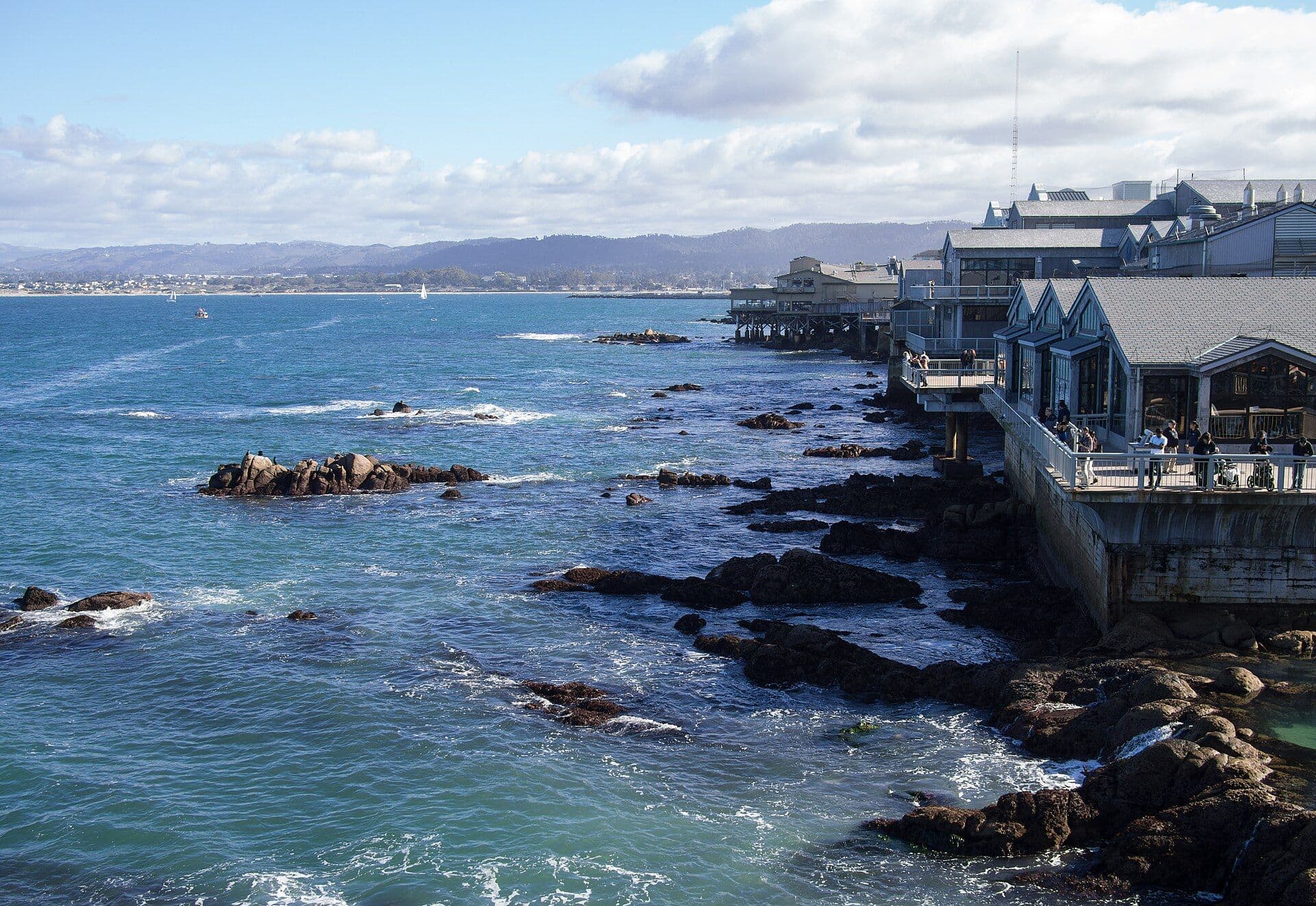
Start at Cannery Row and the waterfront path, which is busy and runs right along the bay. From there, the Monterey Bay Coastal Recreation Trail links viewpoints, beaches and picnic spots on foot or by bike. With kids, or if you like marine life, the Monterey Bay Aquarium shows you what you're looking at when you scan the kelp forest and the water near shore.
Beaches and viewpoints:
- Lovers Point Park & Beach (Pacific Grove) — a small crescent beach (see Top Pick below).
- Del Monte Beach — wide sand close to downtown for an easy beach walk.
- Asilomar State Beach — rocky shore and dunes that take the big surf.
- Old Fisherman's Wharf — bay views, casual food and the working harbor next door.
- Tide pools in Pacific Grove — go at low tide and watch your footing on the rocks.
- 17‑Mile Drive & Pebble Beach (nearby) — pullouts along the road and the coast's cypress trees.
- Point Lobos (nearby) — short coastal hikes.
For a simple plan, give one day to the bayfront (trail + aquarium + Cannery Row) and another for the wilder coastline around Pacific Grove and Asilomar. Mornings are often cool and clear, and the late-afternoon light is good. Look for sea otters floating in the kelp and harbor seals near the rocks, and in season, whale spouts offshore.
Top Pick: Lovers Point
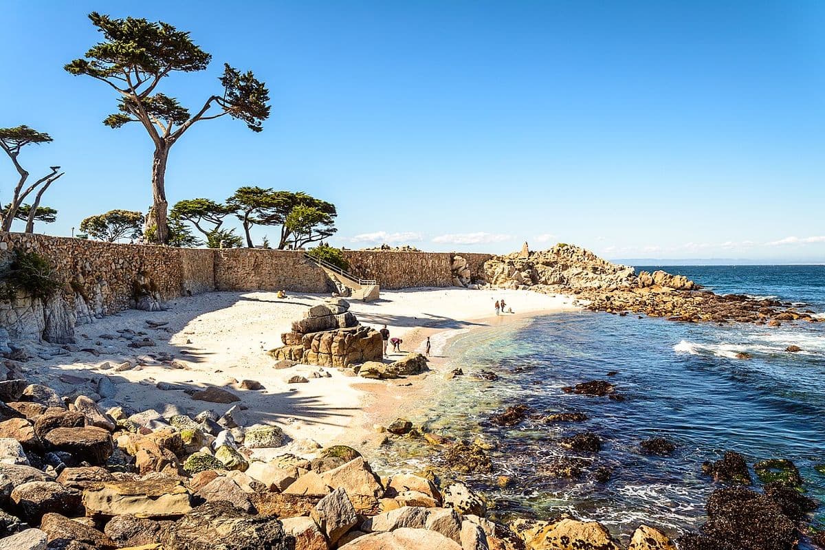
Lovers Point Park & Beach is a small crescent beach in Pacific Grove, just south of Monterey. In the calmer summer months, kayakers and swimmers use its rocky cove.
The park has benches and picnic areas. Its viewpoint is best in the last hour before sunset.
From here, walk the coastal trail toward Asilomar State Beach, or in late winter head up to the Monarch Butterfly Sanctuary.