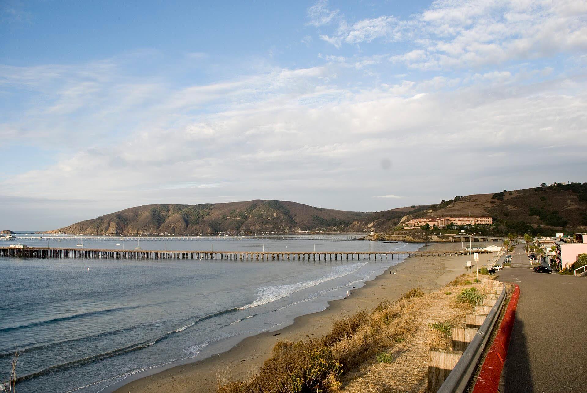
This winter's king tides fall on November 24 to 26, December 23 to 25 and January 21 to 22. NOAA predicts 7.02 ft at Port San Luis on December 24, and with El Niño holding the coast well above the tide tables, they could top the gauge's record.
Explainer
Surfing · Morro Bay · Avila · California coast · 5 min
Most East Pacific hurricanes never send us a wave: Baja is in the way. How hurricane swell reaches California when it does, how long it takes, what 12 years of buoy data show, and how to read our new storm tracker.
Explainer
Surfing · Fishing · Tidepooling · Kayaking · Avila · Morro Bay · Cambria · California coast · 9 min
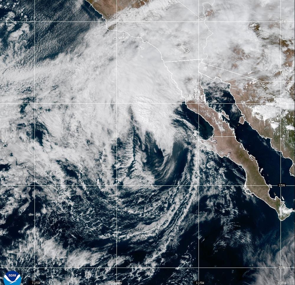
Rachel, a major hurricane last week, is expected to make landfall in northern Baja as a tropical storm tonight. The Central Coast is far from the center, but it gets high surf, tides running more than a foot above the tables, coastal flood advisories from Big Sur to Santa Barbara County, and light rain Sunday night into Monday.
Explainer
Surfing · Fishing · Tidepooling · Wildlife · Avila · Morro Bay · California coast · 9 min
A very strong, possibly record El Niño is building into winter. Where the forecasts stand in October 2026, what's already showing up off the Central Coast (warm water, higher tides, southern fish), and how to plan surf, fishing and tidepool days around a stormy season.
Explainer
Surfing · Fishing · Tidepooling · Avila · Morro Bay · California coast · 27 min
Updated October 28: NOAA gauges from La Jolla to San Francisco ran 12 to 17 inches above prediction in late October, and Port San Luis reached 7.68 ft on October 28, a fraction of an inch above its highest reading since 1980. What the Kelvin wave is, what the gauges show, and what it means for Central Coast king tides this winter.
Learn at Pismo or Avila on a 2–4 ft swell with light wind, and save the Cayucos pier and the Hazard Canyon reef for later. Spots, tides, wetsuits and lineup rules.
Islay Creek in Montaña de Oro, Pismo State Beach and Morro Bay State Park: what each campground is like, how fast the six-month booking window fills, and how to camp in the summer wind and fog.
Six SLO County coast trails, from the flat 3.2-mile Bluff Trail to Valencia Peak and the guided Pecho Coast Trail: which need a sign-in or a reservation, and which season is best.
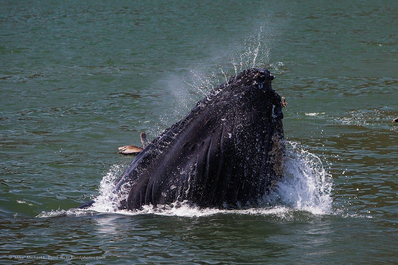
Gray whales pass within a mile of shore from December to May, humpbacks peak May to November, and blue whales feed 5 to 20 miles out in summer. Where to watch from shore, and when you need a boat.
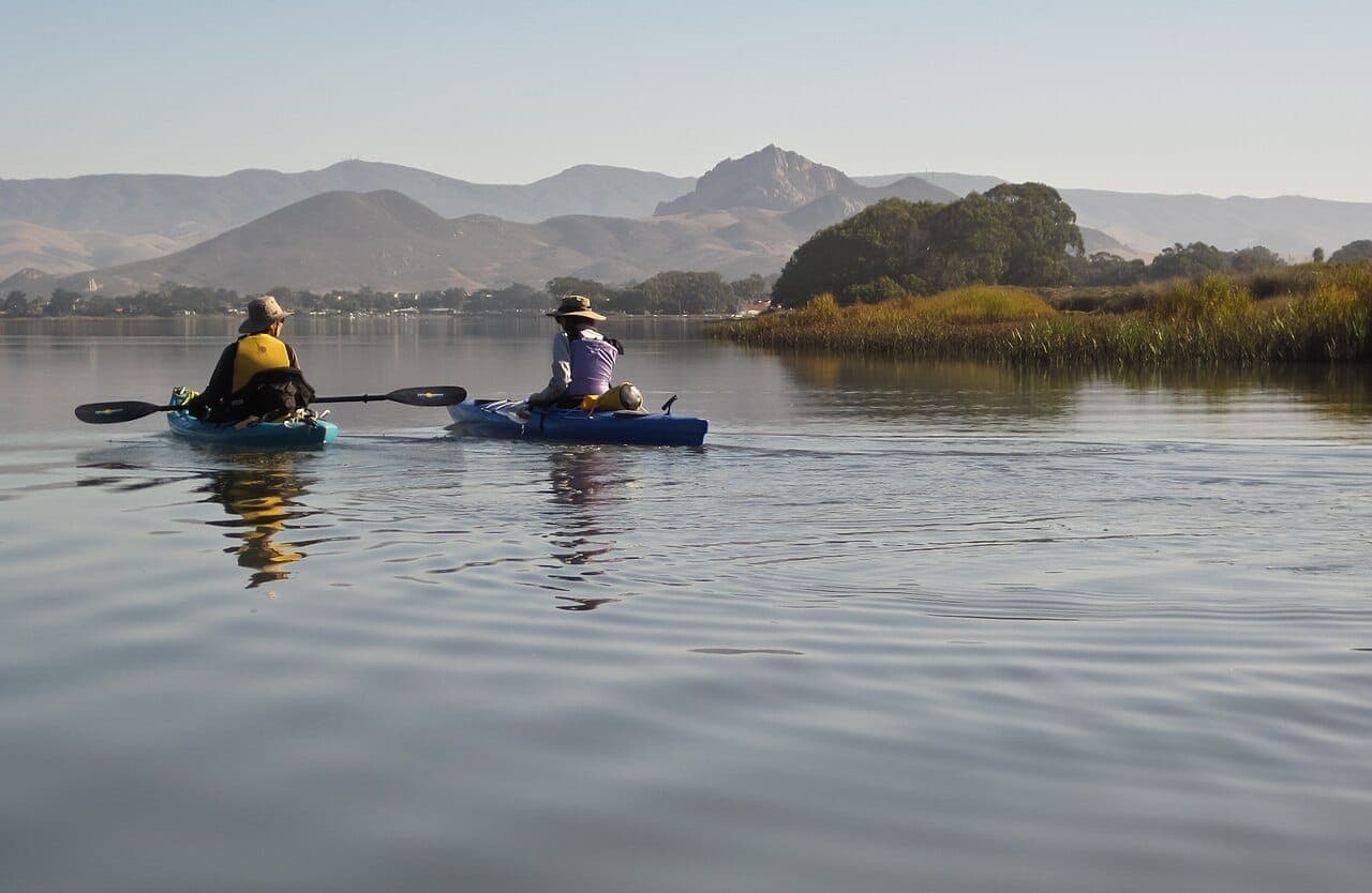
Four launches from Cayucos to the Shell Beach sea caves, why to paddle before the afternoon wind, and why Morro Bay's shallow back bay wants a high tide.
NW wind eases Sunday off Morro Bay after Endeavor's August 22 trip landed 120 rockfish and 11 lingcod; San Antonio bass are excellent in flooded cover.
July 25: a small craft advisory from 2 PM and a long-period south swell keep the ocean choppy; Lopez bass are solid at 513 ft, Nacimiento topwater improves.