Morro Bay
Morro Rock, sea otters and a tidal estuary made for paddling
About Morro Bay
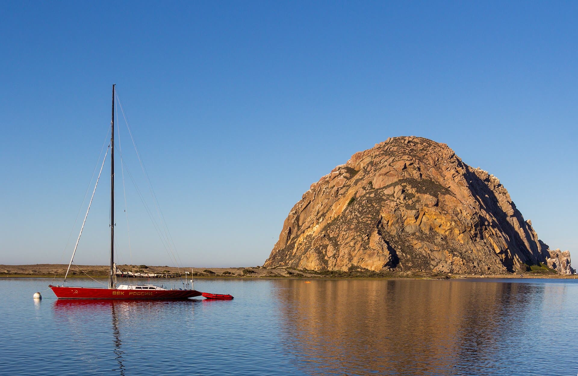
Morro Bay is a working fishing harbor built around one landmark. Morro Rock rises about 576 feet at the mouth of the bay, the last of a chain of nine volcanic peaks that runs from San Luis Obispo to the sea. Juan Rodríguez Cabrillo named it in 1542, it was quarried for breakwater stone until 1963, and today it is a California Historical Landmark and a bird sanctuary, home to nesting peregrine falcons. Climbing the rock is prohibited.
Behind the rock, a long sandspit shelters a shallow bay and estuary, which is a State Estuary and part of the Morro Bay National Estuary Program. That calm water is what makes the town special. Sea otters float in the harbor most days (the estuary program counts 30 to 50 in the bay on a typical day), and the Embarcadero waterfront is lined with kayak and paddleboard outfitters, seafood spots and fishing boats.
Essential stops in and around Morro Bay:
- Morro Rock Beach — the ocean beach on the north side of the rock; lifeguards from about Memorial Day to Labor Day, and the surf can be rough.
- The Embarcadero — the harbor-front street for watching otters, renting kayaks and eating fish by the water.
- Morro Bay State Park — a marina, the Museum of Natural History (open daily 10–5; $3 adults, free for 18 and under) and a heron rookery a few minutes' walk from the museum.
- Black Hill — one of the nine peaks, inside the state park, with a trail through Monterey pines to a summit view over the bay.
- Morro Strand State Beach — a long, straight beach running north toward Cayucos.
- Montaña de Oro State Park — wild bluffs, coves and tide pools at the south end of the sandspit (see below).
Tides matter more in Morro Bay than almost anywhere else on this coast, because the back bay is shallow. The estuary program warns that a low tide can leave boats aground in the back bay, while a rising tide can float away kayaks left on the sandspit or beach and strand their paddlers. Morro Bay takes its tide predictions from the nearest NOAA station, Port San Luis, and local times can run slightly different. Plan a paddle around high water, pull your boat well above the tide line, and check the wind before you launch.
Give the otters room. The estuary program's current guidance is to stay at least 100 feet away.
Top Pick: Montaña de Oro State Park
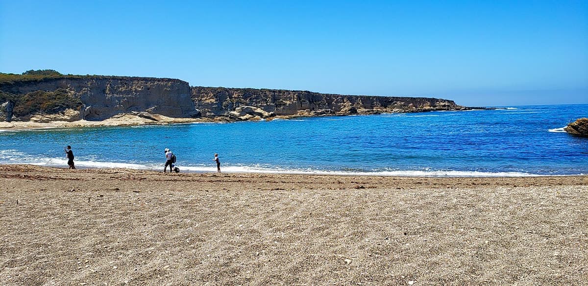
Montaña de Oro State Park covers more than 8,000 acres south of Los Osos, including seven miles of shoreline. Reach it on Los Osos Valley Road, which becomes Pecho Valley Road and runs south through the park to the coves and bluffs. There is no entrance or parking fee for day use.
Spooner's Cove, across from the campground, is the park's best-known beach, and the only one where leashed dogs are allowed. From there, the Bluff Trail follows the edge of the marine terraces south, and Valencia Peak (1,347 feet) offers a steeper climb with wide views of the coast.
The rocky shore here is excellent for tide pooling on a low tide; state park staff lead guided tide pool walks at Hazard Reef from time to time. Use the Port San Luis tide calendar to find the next daylight low, and watch the waves while you explore.